File:Garmin etrex summit.jpg
From GeoWiki
No higher resolution available.
Garmin_etrex_summit.jpg (288 × 360 pixels, file size: 12 KB, MIME type: image/jpeg)
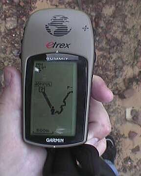
The Garmin etrex Summit has maps and an electronic compass.
File history
Click on a date/time to view the file as it appeared at that time.
| Date/Time | Thumbnail | Dimensions | User | Comment | |
|---|---|---|---|---|---|
| current | 18:55, 20 June 2005 | | 288 × 360 (12 KB) | Ideology (talk | contribs) | The Garmin etrex Summit has maps and an electronic compass. |
- You cannot overwrite this file.
File usage
The following 2 pages link to this file: