Difference between revisions of "Local Government Area (LGA)"
(Create Page) |
m |
||
| Line 1: | Line 1: | ||
==What is an LGA?== | ==What is an LGA?== | ||
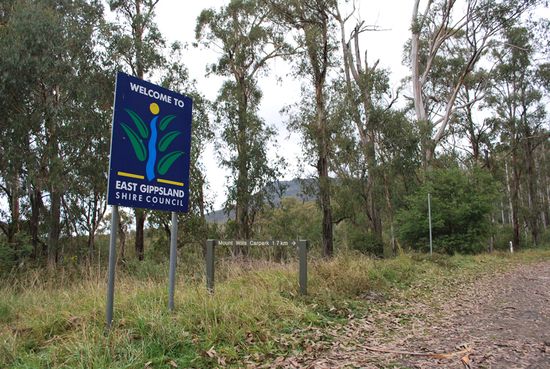
| − | [[File:East_Gippsland.jpg|right|thumb | + | [[File:East_Gippsland.jpg|550px|right|thumb|alt=A welcome sign at the boundary of an LGA|A welcome sign at the boundary of a LGA]] |
In Australia, a Local Government Area (LGA) is a key unit of local administration, commonly known as a "council." These councils operate within individual states and territories, serving as the third tier of governance after federal and state levels. LGAs have been established to better address the unique needs and concerns of specific regional or community groups. Their responsibilities typically encompass local road maintenance, public recreation facilities, town planning, waste management, and various community services. The size and scope of an LGA can vary widely, ranging from rural shires with smaller populations to major urban centres. | In Australia, a Local Government Area (LGA) is a key unit of local administration, commonly known as a "council." These councils operate within individual states and territories, serving as the third tier of governance after federal and state levels. LGAs have been established to better address the unique needs and concerns of specific regional or community groups. Their responsibilities typically encompass local road maintenance, public recreation facilities, town planning, waste management, and various community services. The size and scope of an LGA can vary widely, ranging from rural shires with smaller populations to major urban centres. | ||
Revision as of 11:01, 26 September 2023
What is an LGA?
In Australia, a Local Government Area (LGA) is a key unit of local administration, commonly known as a "council." These councils operate within individual states and territories, serving as the third tier of governance after federal and state levels. LGAs have been established to better address the unique needs and concerns of specific regional or community groups. Their responsibilities typically encompass local road maintenance, public recreation facilities, town planning, waste management, and various community services. The size and scope of an LGA can vary widely, ranging from rural shires with smaller populations to major urban centres.
How do I determine an LGA’s boundaries?
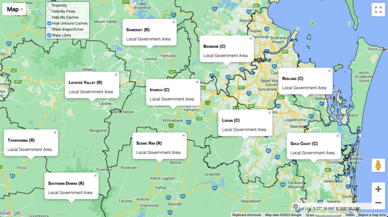
The maps at Geocaching Australiahave the functionality to display LGA boundaries. Simply select the ‘Show LGAs’ box in the map, and boundaries will be drawn on the map. As you zoom in or out – or pan around the map, you’ll see more boundaries being drawn. Clicking on the map will reveal the LGA name of the point selected.
LGAs and Geocaching.
Local Government Areas (LGAs) can serve as an intriguing backdrop for geocaching adventures, similar to how county challenges are popular among geocachers in the USA. Both provide geographical boundaries that offer an extra layer of challenge and exploration for enthusiasts of the activity. In the USA, county challenges encourage geocachers to find a cache in each county of a state, leading them to explore diverse terrains and regions. Similarly, in Australia, some geocachers set personal goals or challenges to find caches in each LGA within a state or territory. This adds an element of regional exploration, pushing geocachers to venture into different communities and environments that they may not otherwise visit.

