Difference between revisions of "Finding a cache"
From GeoWiki
| Line 8: | Line 8: | ||
Use [[waypoint management software]] to categorise, classify and research the caches in your chosen area. Use this and mapping software to identify clusters of caches which can form the basis of a good caching trip. | Use [[waypoint management software]] to categorise, classify and research the caches in your chosen area. Use this and mapping software to identify clusters of caches which can form the basis of a good caching trip. | ||
| − | |||
| − | |||
| − | |||
| − | |||
| − | |||
| − | |||
| − | |||
| − | |||
| − | |||
| − | |||
| − | |||
| − | |||
| − | |||
| − | |||
| − | |||
| − | |||
| − | |||
| − | |||
| − | |||
Revision as of 18:25, 6 November 2005
Planning
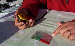
Some brief planning before your attempt on a cache can make the whole experience vastly more enjoyable. If your target is in a bush area, 10 minutes of planning can save you hours of walking because you didn't notice that river, ravine or freeway between you and the cache!
- Plot the cache on a map and find its general location
- Find the most appropriate entry point and route to the general location
- Look at different maps to make sure you pick up on those obscure tracks that may lead you to your eventual goal.
Use waypoint management software to categorise, classify and research the caches in your chosen area. Use this and mapping software to identify clusters of caches which can form the basis of a good caching trip.
